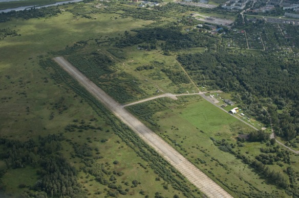
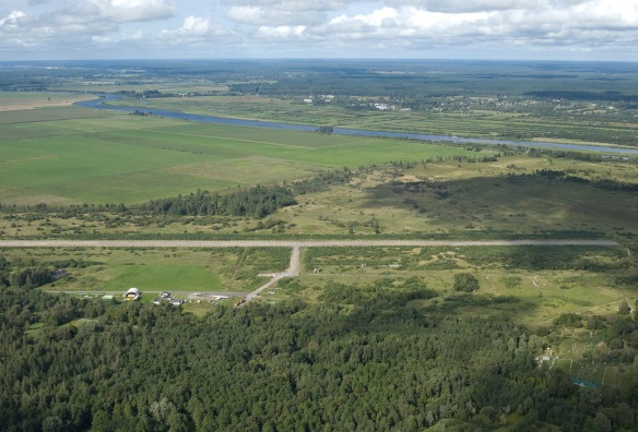
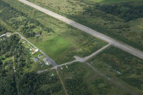
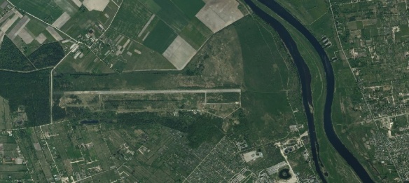
Latest update on airfield condition: /10.04.2011: RWY surface is good, in some places small stones. Bushes at threshold RWY27. Can be used for takeoffs and landings.
Overview: Former soviet air force base. After soviet collapse used mainly by Rīgas Aeroklubs for parachute dropping and general aviation activities. The aerodrome was built with 2500m long runway, which was gradually shortened to 800m after the aerodrome was let to privatisation.
Status: Uncertified
Airfield condition: Average; runway and taxiways have sharp edges, some uneven plates on the RWY
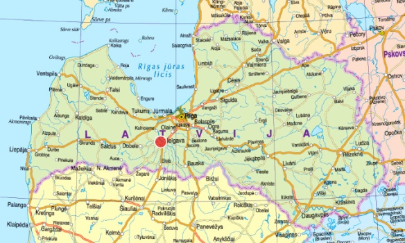
Coordinates and location: 56.672962 N, 23.691684 E; North side of Jelgava town
Elevation: 6m / 20ft
Runway direction: 09/27
Runway dimensions: 800x20m
Runway surface: concrete plates
Radio frequency: 123.95 MHz
Obstacles: NIL
Ownership: municipality
Fuel availability: NIL
To see: Jelgava town, the Rastrelli Palace

