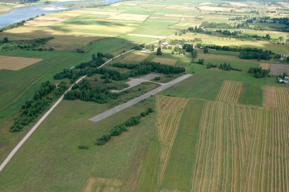
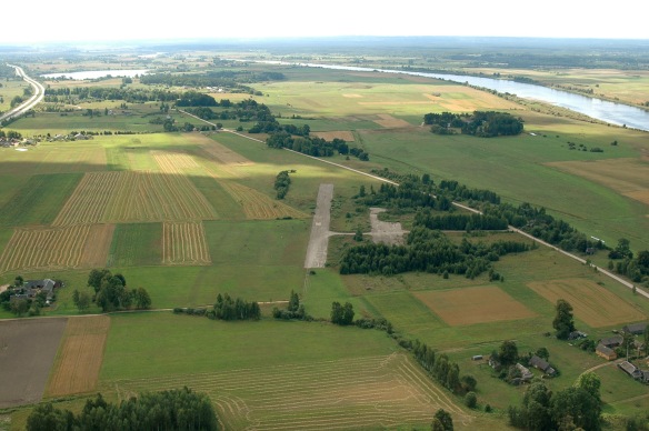
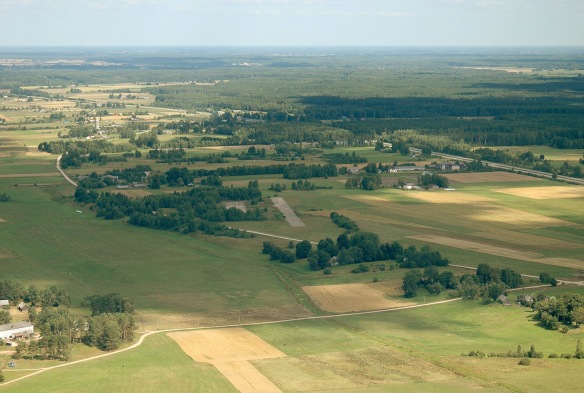
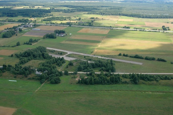
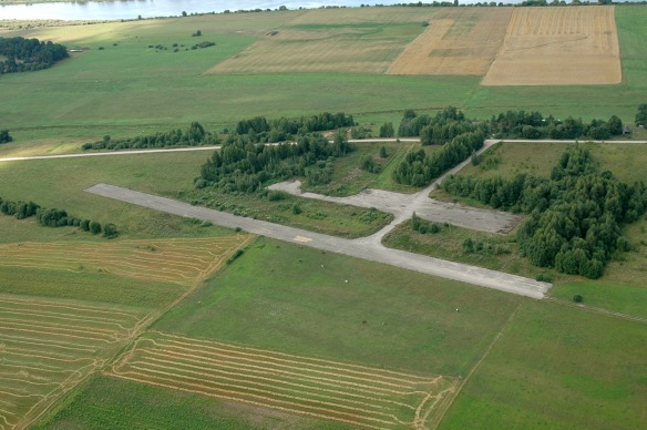
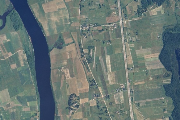
Overview: Another former agricultural airfield North of Daugavpils between the highway and Daugava river. Due to trees close to runway ends, this airfield is practically unusable. If you still consider to make a landing there, bear in mind the small fence along the runway created for animal isolation and bushes on both sides. Generally suitable for emergency use only.
Status: Uncertified
Airfield condition: Bad – due to many obstacles. RWY surface however seems in fairly good codition.
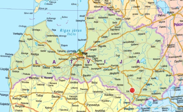
Coordinates and location: 56.04297 N, 26.36948 E; 5.5 km NNW of Līksna village, 20km NNW of Daugavpils city.
Elevation: 93m / 305 ft
Runway direction: 18/36
Runway dimensions: 400x20m
Runway surface: asphalt
Radio frequency: 123.95 MHz
Obstacles: Approach obstacles: trees 100m from THR RWY18; road 170m and trees 230m from THR RWY36. Local obstacles: bushes on both sides of the RWY; small fence along the RWY E side. .
Ownership:
Fuel availability:
To see:

